The N Gauge layout is set on the eastern edge of Dartmoor where lines for both the GWR and LSWR were built side by side. The layout includes the station at Mary Tavy built on the GWR Launceston Branch and the LWSR station at Brentor
The map below reproduced from the National library of Scotland archive shows the two lines running along the valley side by side

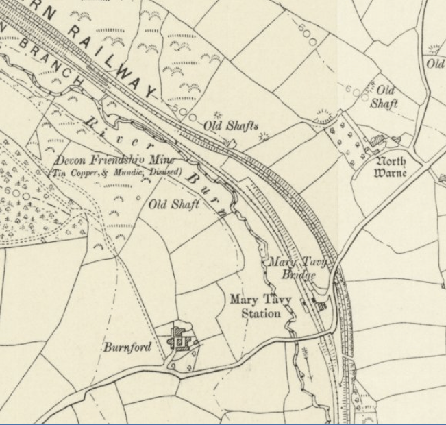
The extract below shows the zoomed in view of Mary Tavy Station which is around a mile to the south west of the village which sits on the edge of the moor. The track formation and bridge over the GWR branch line is still in situ today but the LSWR line is a lot harder to see. The station is no longer visible but the houses, show as the hatched buildings are still in place. The station is shown with single line and one siding.
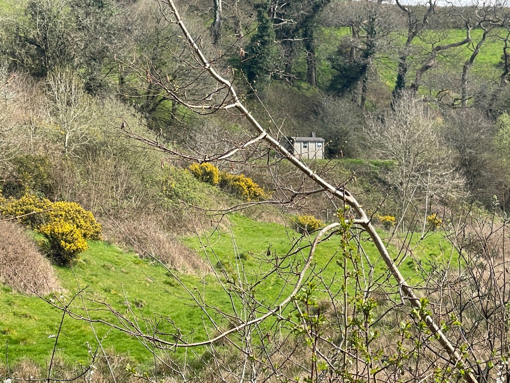
Brentor station still exists today and has continued to be maintained as a station complete with the canopy and some signs and infrastructure


The map shows a siding coming off the double track mainline to the south of the station and running up towards the end of the station with a second siding stopping short of the station.
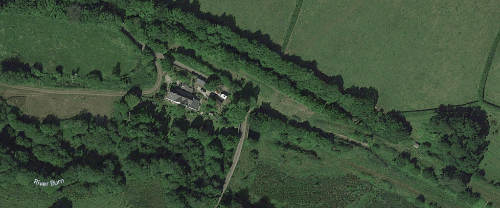
Google Earth
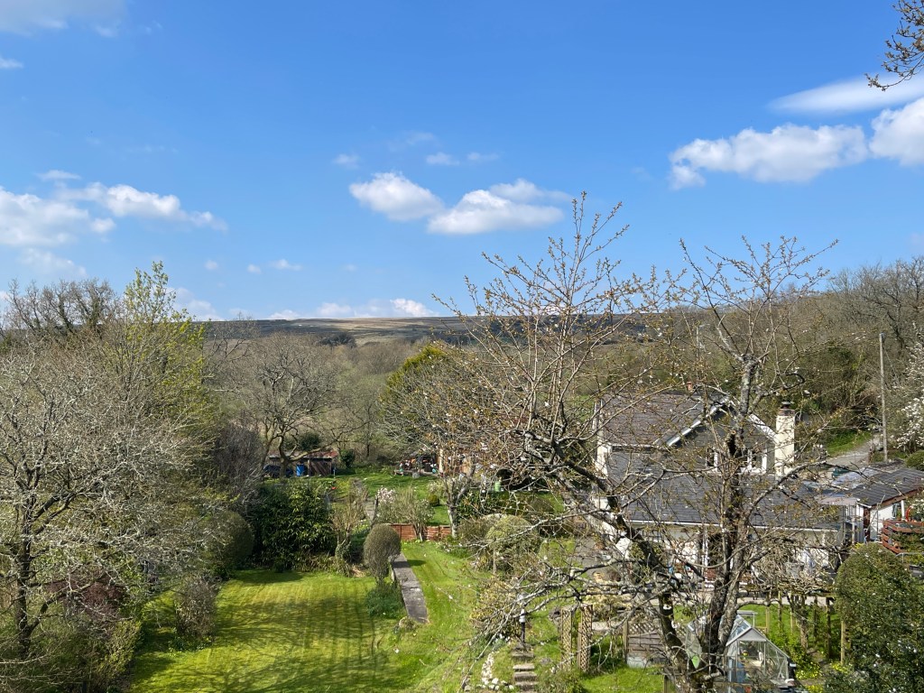
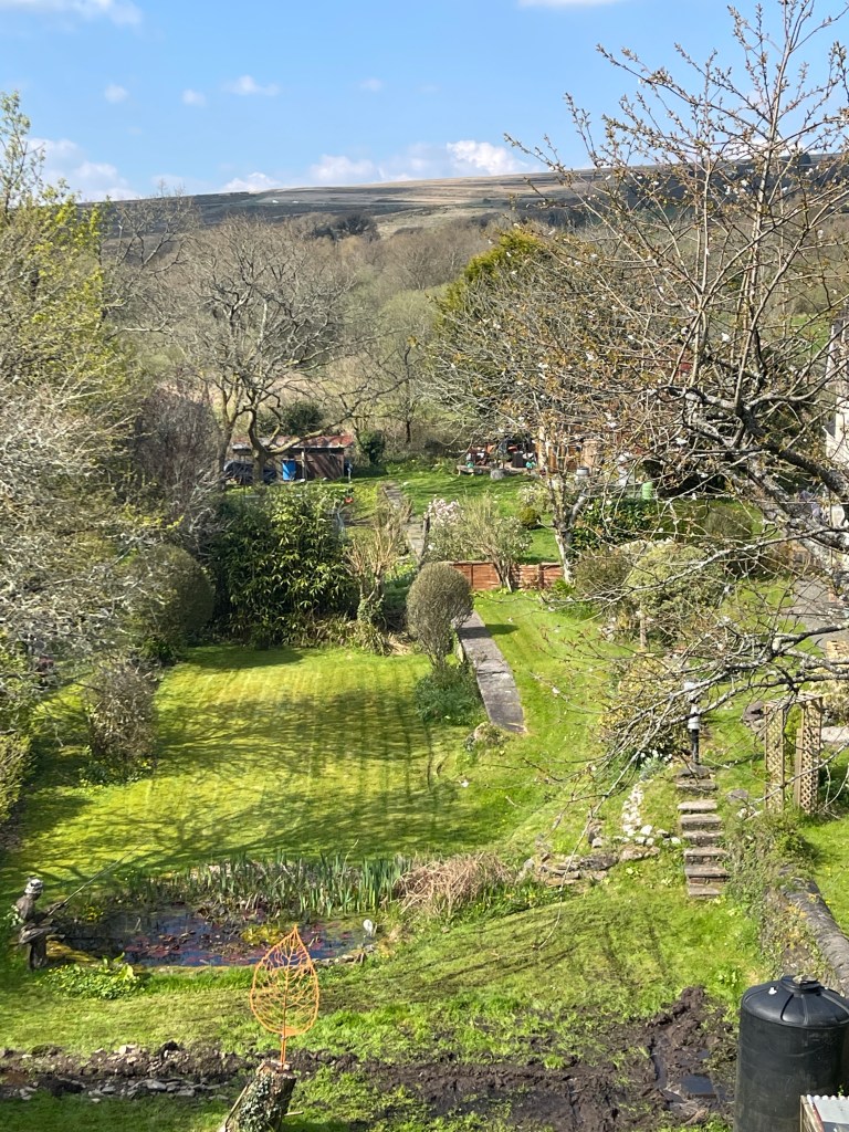
Looking at images of both stations from Google earth the LSWR formation with the Exmouth shed shown in the last photo at Mary Tavey is clear but the GWR line that went through the station has virtually disappeared from the air. It is a bit clearer in the images taken from the bridge